
Precision forestry
Technology
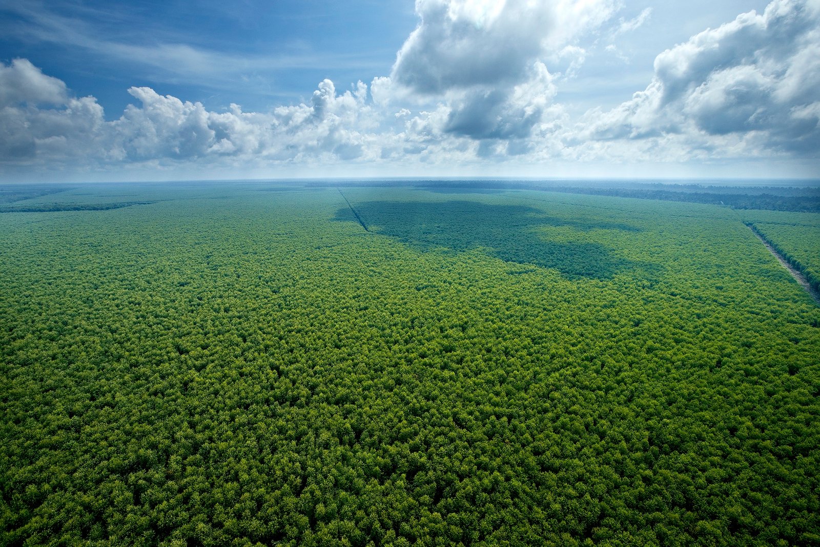
The role of technology in precision forestry
At RGE, technology plays a major role in increasing the efficiency of our plantation operations through the use of drones, satellites and artificial intelligence (AI). This generates not just higher speed in operation processes, but also significant cost-savings, enabling us to contribute on a larger scale to our environmental commitments.
With the aid of technology, we are able to:
- Map our plantation areas more efficiently, selecting the most suitable locations for different tree breeds
- Predict soil erosion and flood risk
- More effectively monitor forests for illegal logging, fires, or pest outbreaks
- Increase the speed of mapping and image processing, enabling coverage of entire areas rather than smaller samples
Operating drones
Since 2023, drone specialists at APRIL, Asian Agri, and Bracell have been using unmanned aerial vehicles (UAVs) to collect imagery and map plantations in their entirety. Using drones is a big improvement over manual foot patrols, which only allow mapping of a small sample because they are so time consuming. With this more detailed information, analysts are able to:
- Conduct faster auditing of new plantation sites
- Perform inventory and plan for harvesting in areas that were previously difficult to access
- Detect changes in plant health early, providing more time to respond to issues
With drones, we are not only collecting imagery, but also building a database of best practices that ultimately contributes to our precision forestry operations on a larger scale, generating knowledge for our extended businesses and improving productivity on many fronts.
At Asian Agri, drones are further used for spraying pesticides, covering a larger area while ensuring optimal distribution to reduce overall chemical usage.
At Bracell, drones play yet another role, aiding in forest fire relief and in search and rescue operations.
LiDAR – Light Detection and Ranging
Employed by APRIL, LiDAR uses a sensor attached to UAVs such as drones to capture return laser pulses that paint a 3D picture of the distance, position, and orientation of objects. With additional data on elevation, depth, and contour, LiDAR imagery is used to assess plant health, detect diseased trees, as well as drainage planning.
Since starting LiDAR usage in 2021, APRIL has been able to greatly improve on sampling, achieving:
- Sampling previously inaccessible terrains
- Sample 100 per cent of a plantation, up from two per cent from manual patrols
- Reducing sampling error from 10-15 per cent, to zero
- Reducing cost of conducting inventory of plantation by 65 per cent, from US$4.29/hectare to US$1.52/hectare
With LiDAR’s digital terrain model, APRIL is able to effectively prepare for flooding in low-lying areas of the plantation, as well as measure canopy height to detect trees that have been killed by fungal diseases such as ganoderma. This enables us to act with efficiency in the face of changing plantation conditions.
Satellite imagery and sustainability
With satellite imagery on forest height and vegetation distribution, APRIL is able to detect weed and pest appearance from afar, which allows for precise pest management. Fire susceptibility is likewise mapped, allowing us to protect the plantation and the communities around it.
Satellite imagery is also used for sustainability and conservation initiatives, where it helps to detect illegal logging and deforestation. APRIL’s team of remote sensing analysts carry out surveys every 16 days to detect instances of land cover change, equipping us with the data and insight to quickly respond with remedial action.
With satellite data, Bracell is monitoring greenhouse gas emissions, using this data to better inform environmental conservation decisions. APRIL is currently working with NUS-CNCS (National University of Singapore Centre for Nature-based Climate Solutions) on plans to develop a similar carbon estimation model using data from plantation and conservation sites.
AI modelling
This aerial information gathered by drones and satellites is analysed through an AI machine learning model, which is able to deliver accurate predictions on soil erosion and flood risk, and better equip us to make informed, data-based decisions on forestry management.
The adoption of AI has greatly advanced APRIL’s LiDAR imagery scanning capacity, speeding up the process from 100 ha per day when done manually, to 1200 ha processed per day through automated servers— a 12 times increase in efficiency. With intensive investment into equipment and specialist training, we are able to generate higher efficiencies through precise forestry decisions, ultimately reducing operational costs.